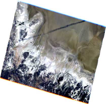
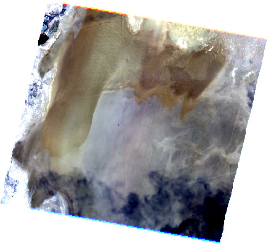
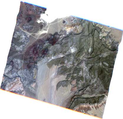
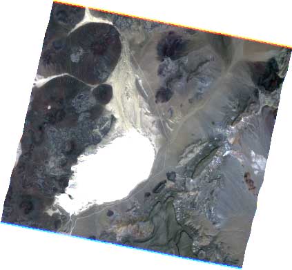
AirMISR made four runs over these two desert playas in Nevada. This was done at the same time MISR flew overhead. Images over these uniform sites allow us to compare radiances from the various sensors, as well as co-incident measurements made by a ground team at the sites. This was a successful day, with all data sets acquired as planned. Shown here are AirMISR "initial-L1B2" data. These have been geolocated, and North appears at the top of each image. Note the navigation data plot at the bottom of this page.
 |
 |
| Run 1 Railroad Valley |
Run 2 Railroad Valley |
 |
 |
| Run 3 Lunar Lake |
Run 4 Lunar Lake |
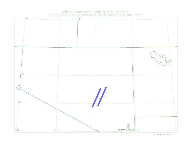 |
The image to the left depicts the locations where AirMISR acquired data. [See flight log report] |
[Back] to 2001 VC experiment summary
[Back] to Validation results page
[Home] to MISR home page